
Our Blog
Precision Drone Services for Mapping, Inspections, Thermal Imaging, and High Accuracy Aerial Data.
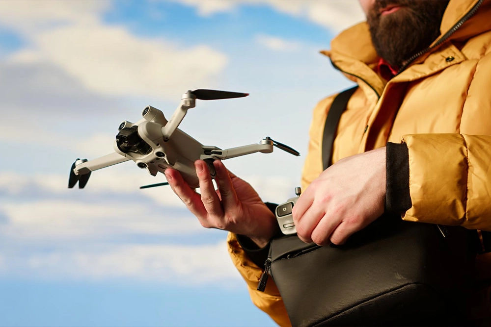
The Basics of Drone Flying
Learn how drones operate and the essential controls needed to safely navigate the air for photography, mapping, and exploration...
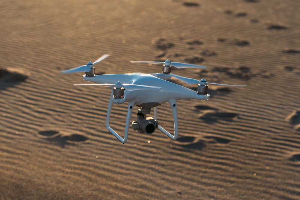
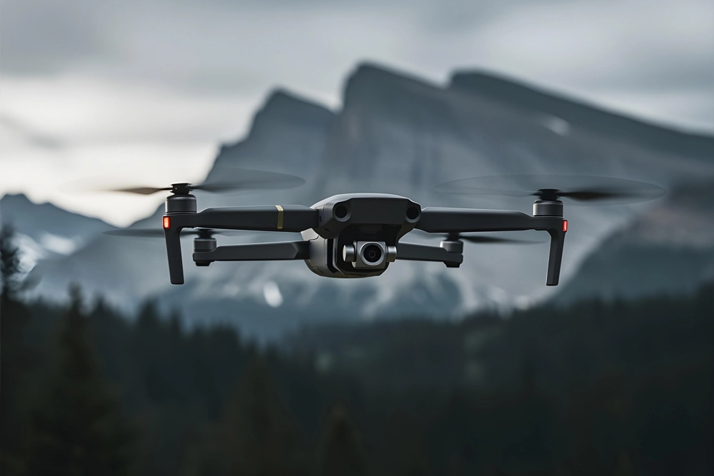
Best Drones to Buy in 2025
Explore why more creators are upgrading to advanced drones for stable footage, longer flight time, and smarter camera features...
Common Myths About Drones
Discover the facts behind popular misunderstandings about drone safety, battery life, flight range, and camera performance...

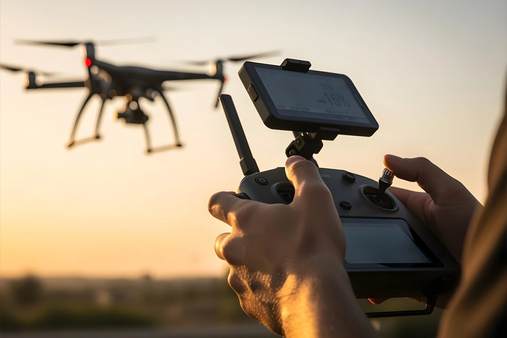
Tips for Smooth Aerial Footage
Learn simple techniques to capture steady aerial shots using proper settings, flight patterns, weather timing, and camera tuning...
The Future of Drone Technology
From AI tracking to obstacle avoidance systems, explore the innovations shaping professional drone usage in the coming years...
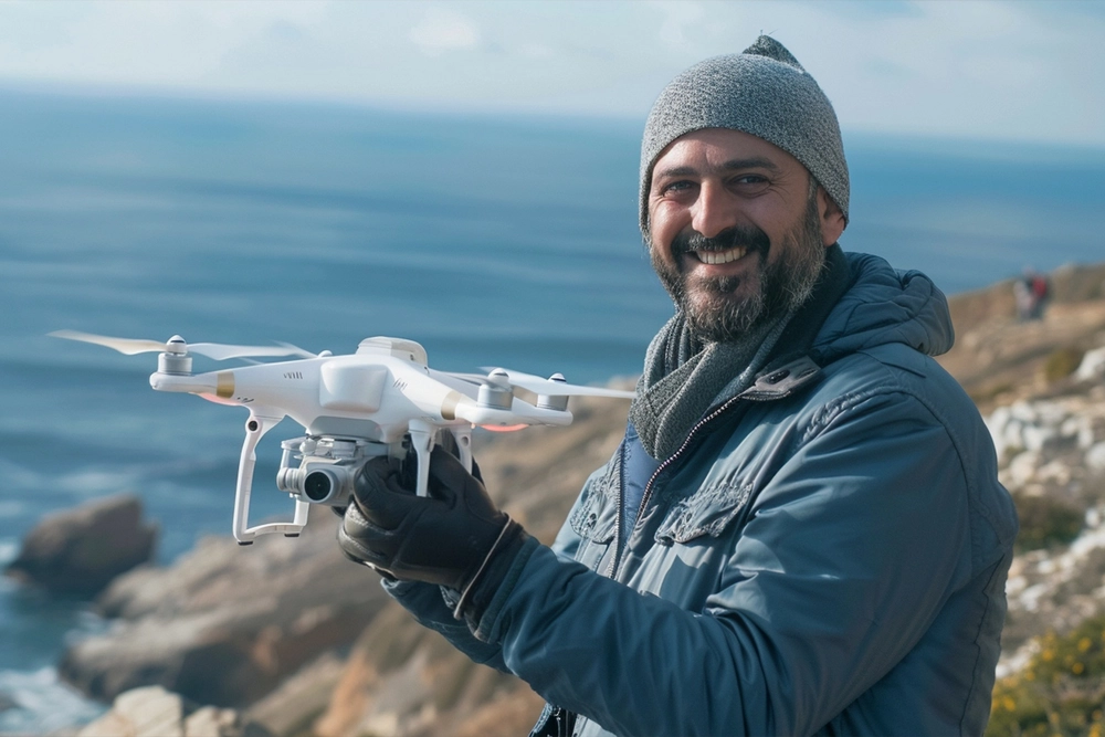
Choosing the Right Drone Camera
Picking the best camera drone depends on resolution, stabilization, lens quality, and your intended shooting applications...