

Flying
Beyond
Limits
Innovative and Efficient
01

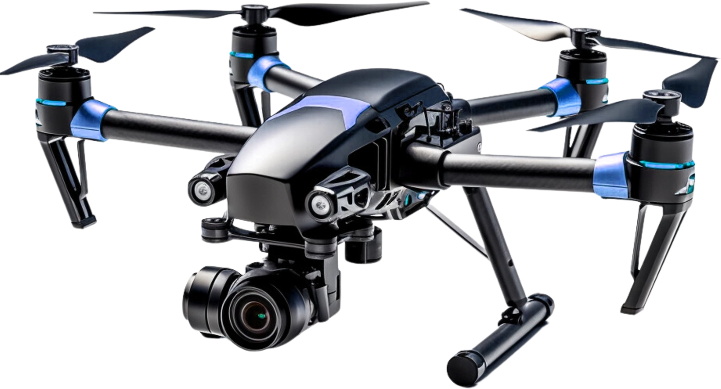
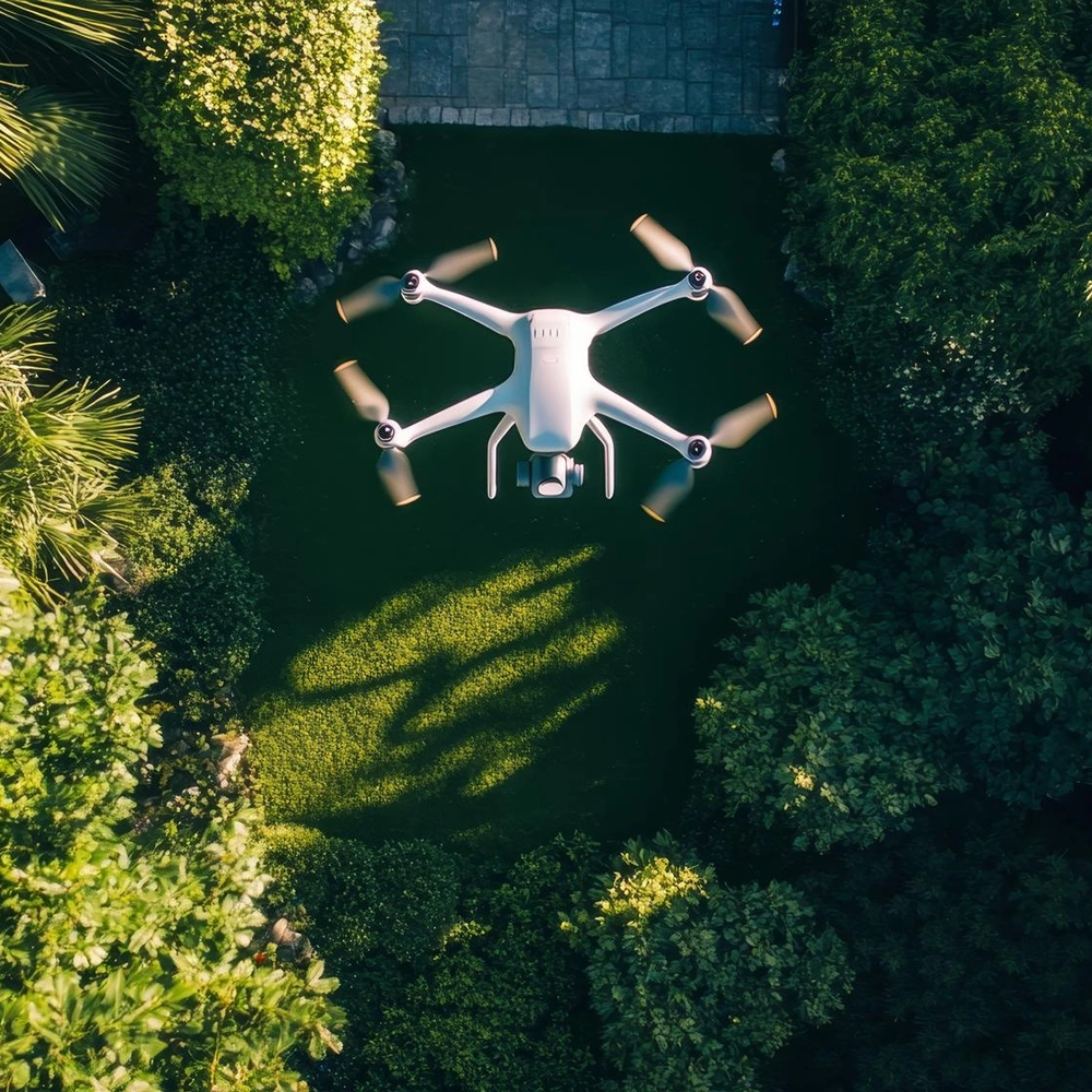
Aerial Photo & Video
Aerial and video services deliver stunning drone footage for mapping, inspection, marketing, events, real estate, surveys storytelling worldwide.
02

Mapping & Surveying
Mapping and surveying services deliver aerial data for terrain analysis, land planning, construction tracking, boundary checks, and reports plus.
03

Inspections & Monitoring
Inspection and monitoring services deliver real time drone data for asset checks, audits, infrastructure health tracking, and compliance reports.
Certified Pilots
Fly with confidence knowing your projects are in the hands of certified drone pilots. Our team combines extensive training, industry certifications, and real-world experience to deliver precise, efficient, and safe results for every mission.
- Local Aviation Licensed
- Data Secure
- Insured Operations
- Safety Certified
- ISO Process
Captivating and Cinematic Drone Projects

SkyGrid Mapping Project
AeroVista Media Campaign

InfraScan Inspection Program
Visual Precision
Industry We Serve

Infrastructure Development
Infrastructure projects such as roads, bridges, dams, irrigation systems, and urban development require accurate survey data and reliable field operations. Our equipment and field vehicles support survey teams in collecting topographic data and conducting site investigations efficiently.

Construction
Construction projects often require continuous survey activities such as layout surveys, progress monitoring, and site documentation. Our survey equipment and vehicles (SUV, Double Cabin, Trail) help engineering teams conduct fieldwork reliably throughout the project lifecycle.

Agriculture
Large plantation areas require aerial mapping, land monitoring, and field surveys to support plantation management and development. Drone systems and field vehicles are commonly used for plantation mapping, boundary surveys, and infrastructure monitoring within plantation areas.
Mining and Natural Resources
Mining and exploration activities require frequent surveys and aerial monitoring to support operational planning and site management. Our drone systems and field equipment help project teams collect spatial data and monitor mining areas effectively.

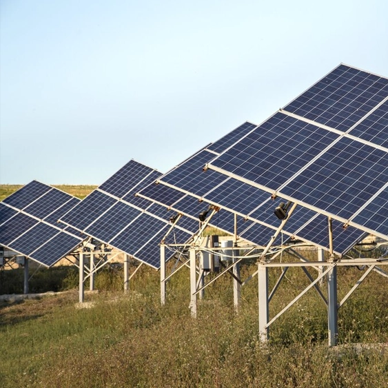
Environmental and Land Management
Environmental studies, land assessments, and conservation projects require spatial data collection and field observation. Drone mapping and survey equipment can support environmental monitoring and spatial analysis activities.

Research
Universities and research institutions often require surveying equipment and drones for research projects, field studies, and geospatial data collection. Our rental services provide flexible access to equipment for academic and scientific purposes.