
Drone Services
Precision Drone Services for Mapping, Inspections, Thermal Imaging, and High Accuracy Aerial Data.
01
Aerial Photo & Video
Aerial and video services deliver stunning drone footage for mapping, inspection, marketing, events, real estate, surveys storytelling worldwide.
02

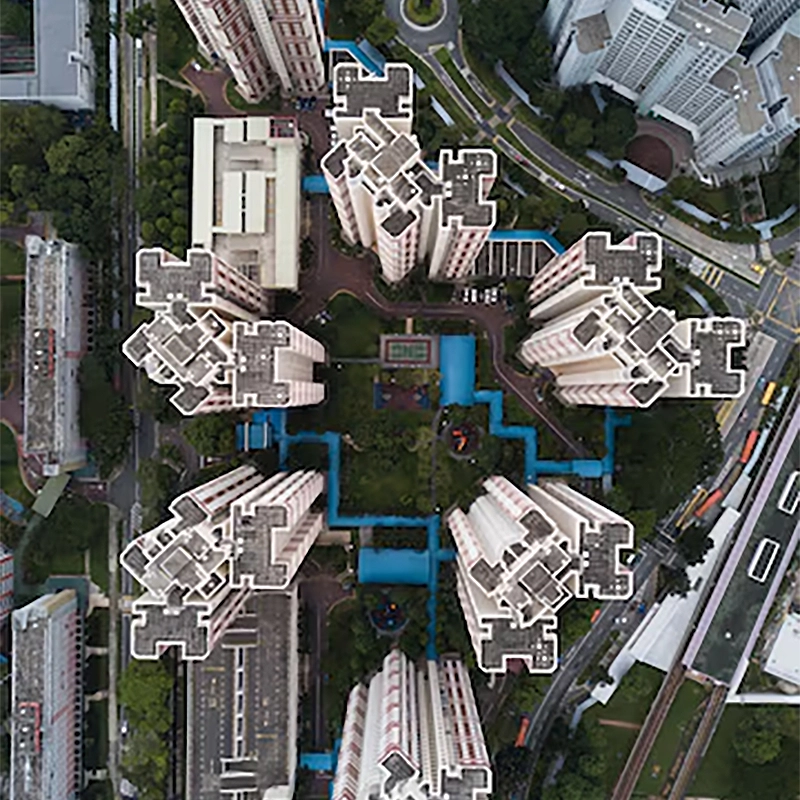
Mapping & Surveying
Mapping and surveying services deliver aerial data for terrain analysis, land planning, construction tracking, boundary checks, and reports plus.
03
Inspections & Monitoring
Inspection and monitoring services deliver real time drone data for asset checks, audits, infrastructure health tracking, and compliance reports.
04

Real Estate Photography
Real estate photography services capture stunning aerial views for homes, villas, apartments, marketing listings, tours, branding and promotions.
05
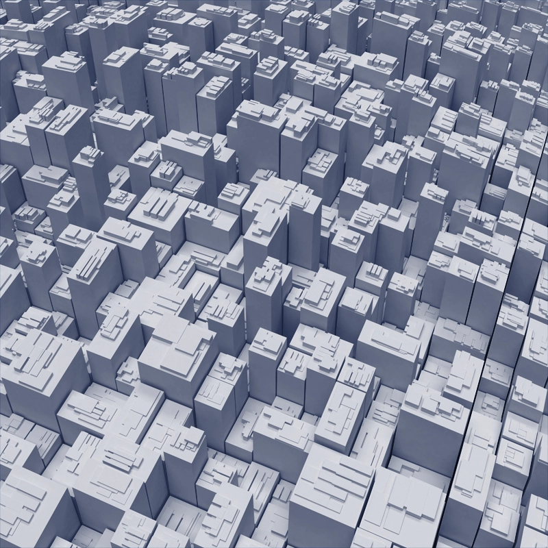
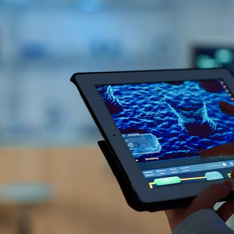
3D Modeling
3D modeling services generate precise assets for architecture engineering, visualization, simulations, measurements, planning and presentations.
06
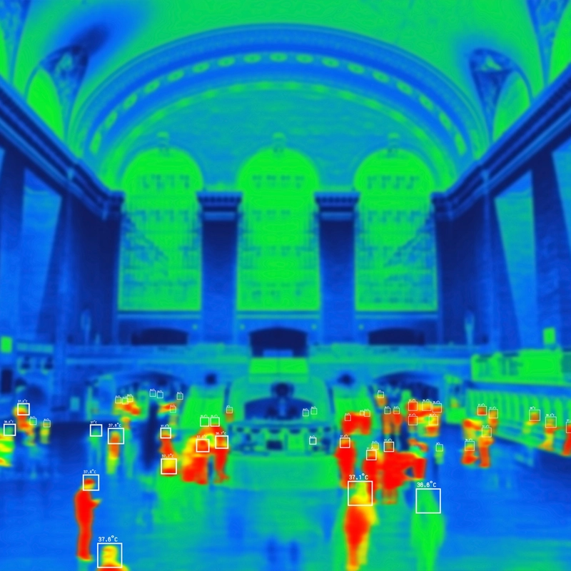
Thermal Imaging
Thermal imaging services detect heat patterns for electrical audits, roof leaks, solar checks, safety inspections, diagnostics and prevention.