
|||||||||||||||||||||||||||
|||||||||||||||||||||||||||
Our Projects
Precision Drone Services for Mapping, Inspections, Thermal Imaging, and High Accuracy Aerial Data.

Experience precision from above with professional aerial mapping and inspection, capturing every detail accurately to support smarter planning and decision making.
View Details
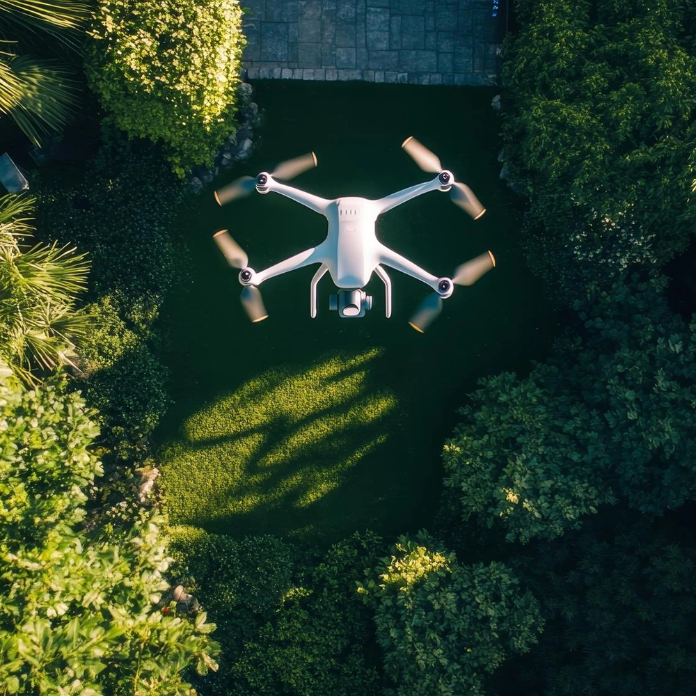
SkyGrid Mapping Project
High resolution aerial photography and cinematic video production help showcase properties, landscapes, and events with stunning clarity and visual impact.
View Details
AeroVista Media Campaign

Detailed infrastructure inspection using drones improves safety, reduces downtime, and delivers accurate visual data for faster maintenance decisions.
View Details
InfraScan Inspection Program
Advanced land surveying with drone technology delivers fast measurements, accurate elevation data, and reliable site analysis for project efficiency.
View Details
TerraScope Survey Initiative
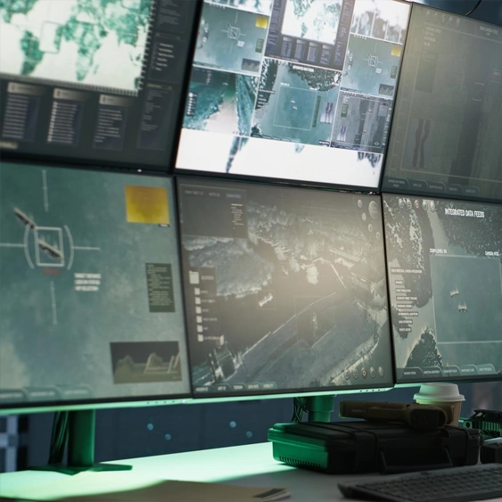
Live aerial monitoring supports construction progress tracking, site security, and operational overview with real time visual reporting.
View Details
SkyWatch Monitoring Project
Professional aerial documentation creates compelling visual assets for marketing, reporting, and long term project archiving.
View Details